Salinity
What is salinity?
Salinity is an important water quality indicator for lots of different types of water bodies. Oceans, estuaries, salt marshes, and even some lakes can be saline. Salinity is a measure of the amount of dissolved salt in water. These salts can come from many sources including, rocks, soil, runoff, and even road salts (check out our piece on road salts). Salinity is measured in parts per thousand (ppt). Freshwater bodies typically sit around 0 – 0.5ppt. Brackish water, which is found in places like estuaries, river deltas, inlets, and salt marshes, has salinity readings anywhere from 0.5ppt all the way to 31ppt. Open oceans tend to sit around 31 – 35ppt. For an in-depth look at salinity check out our salinity page.
Why is monitoring salinity important?
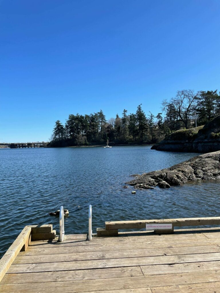
I love monitoring salinity because it gives me a better understanding of my local coastal water bodies. For example in Victoria, BC, there is an inlet that stretches through most of the city called The Gorge. It is an oceanic inlet, I watch the tides go up and down throughout the day. I had always assumed it was fairly salty, given it was an ocean-fed inlet. However, upon testing I found it was brackish! In fact, all my favorite beaches around the city I found to be brackish. Had I not been testing for salinity I would have continued to assume that these bodies of water had the same salinity as the open ocean.
What affects salinity?
Most of the time our testers are sampling from the shore. When it comes to oceans, shoreline seawater tends to have lower salinity than deeper spots. A good rule of thumb is that salinity is low where precipitation is greater than evaporation. For instance in summer, when the sun is more intense and the air is hotter, evaporation occurs at a higher rate, this results in higher salinity. Evaporation can also be exacerbated as waves crash over the hot sand and rocks on the beach. These factors can make shoreline seawater more saline. However, there are many factors that can make shoreline seawater less saline than open ocean. Freshwater input from storm drains, culverts, streams, rivers, rainfall, and agriculture can all lower shoreline salinity. This explains the brackish readings I was getting at my sites. Victoria is a very rainy city. I expect the runoff from all the winter rain is what was contributing to the low shoreline salinities I observed.
How is climate change impacting salinity?
In recent years the salinity in the deep ocean has been varying more than ever before. As the atmosphere continues to warm due to global climate change, the effects of the water cycle are being amplified. But what does the water cycle have to do with salinity? As previously mentioned, as water evaporates and precipitates, the salinity of our oceans changes. This is true for not only shoreline seawater, but open ocean as well.
Want to dive deeper?
Check out our ocean testing equipment!Global climate change is causing warmer temperatures in subtropical zones of the Atlantic. This causes a higher rate of evaporation from our oceans. That evaporated water is pushed, in the form of rain clouds, to the Pacific ocean, where it condenses and then falls as rain. Since more water is leaving the Atlantic through evaporation, it is causing the Atlantic Ocean to become more saline. This is particularly prevalent in the North Atlantic Ocean due to oceanic currents. Since that precipitation is now falling in larger quantities in the Pacific Ocean, the Pacific Oceans’ salinity is decreasing.
Although global salinity readings have only changed by a few decimal points, this is still a very large change. In the last 50 years, salinity levels all over the world have remained exceptionally consistent. This is why testing salinity levels is so important. Even small changes in salinity can be an indicator of much larger changes in the environment.